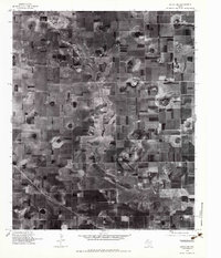
1976 Map of Anton NE
USGS Topo · Published 1983About this map
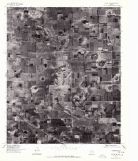
Blackwater Draw cuts a broad, meandering path across this agricultural landscape on the Llano Estacado. This 1976 orthophotoquad reveals the intricate textures of High Plains farming, dominated by large rectangular fields and the distinctive circular patterns of center-pivot irrigation systems that were rapidly transforming the region's water usage during this era. Unlike a traditional topographic map, this aerial survey provides a raw photographic record of the land surface, showing the scattered playa lakes and depressions that characterize the Hale County terrain. The lack of formal town sites or major intersections within this specific quadrangle emphasizes the purely rural and industrial nature of the West Texas cotton and grain belt in the mid-1970s.
Find a feature on this map
1 named feature on this map. Tap any name to fly to it.
Don’t see what you’re looking for? This feature index may not catch every label — zoom into the map to look around manually.
Map Details
Editions of this 1976 Anton NE Map
2 editions found
Other maps of this area

1954 · Lubbock
USGS Topo · 1:250,000

1954 · Plainview
USGS Topo · 1:250,000

1954 · Clovis
USGS Topo · 1:250,000

1954 · Brownfield
USGS Topo · 1:250,000

1957 · Anton
USGS Topo · 1:62,500

1957 · Abernathy
USGS Topo · 1:62,500

1958 · Brownfield
USGS Topo · 1:250,000

1958 · Clovis
USGS Topo · 1:250,000

1958 · Plainview
USGS Topo · 1:250,000

1962 · Brownfield
USGS Topo · 1:250,000