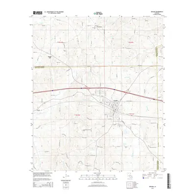
2015 Map of Arcadia
USGS Topo · Published 2015About this map
Arcadia serves as the central hub of this north Louisiana landscape, situated at the junction of several critical regional transit corridors. The settlement pattern reflects a mix of organized street grids in the town center, such as N Hazel St and S 1st St, and rural homesteads scattered along parish roads. To the north, the small community of Hurricane and the site of Bridges Mill mark older local focal points near the Claiborne Parish line.
Find a feature on this map
117 named features on this map. Tap any name to fly to it.
Don’t see what you’re looking for? This feature index may not catch every label — zoom into the map to look around manually.
Map Details
Editions of this 2015 Arcadia Map
This is the sole edition of this map. No revisions or reprints were ever made.
Other maps of this area

1947 · Bienville
USGS Topo · 1:62,500

1948 · Jamestown
USGS Topo · 1:62,500

1949 · Jamestown
USGS Topo · 1:62,500

1949 · Bienville
USGS Topo · 1:62,500

1949 · Gibsland
USGS Topo · 1:62,500

1950 · Gibsland
USGS Topo · 1:62,500

1950 · Arcadia
USGS Topo · 1:62,500

1951 · Arcadia
USGS Topo · 1:62,500

1955 · Shreveport
USGS Topo · 1:250,000

1956 · Shreveport
USGS Topo · 1:250,000