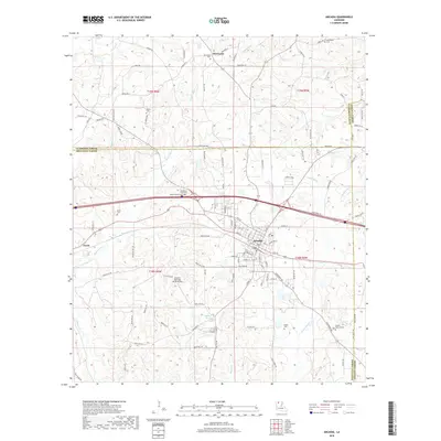
2018 Map of Arcadia
USGS Topo · Published 2018About this map
Arcadia serves as the central hub of this North Louisiana landscape, where the intersection of major transit corridors and rural parish life is clearly defined. The town's grid is dense with street names, contrasting with the surrounding woodlands of Bienville Parish, Claiborne Parish, and Lincoln Parish. A significant concentration of family and community burial sites, including Old Mount Calm Cem, Mount Calvary Cem, and Macedonia Cem, provides a detailed record for genealogists tracing the area's local history.
Find a feature on this map
121 named features on this map. Tap any name to fly to it.
Don’t see what you’re looking for? This feature index may not catch every label — zoom into the map to look around manually.
Map Details
Editions of this 2018 Arcadia Map
This is the sole edition of this map. No revisions or reprints were ever made.
Other maps of this area
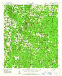
1947 · Bienville
USGS Topo · 1:62,500
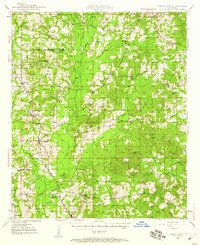
1948 · Jamestown
USGS Topo · 1:62,500
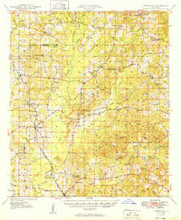
1949 · Jamestown
USGS Topo · 1:62,500
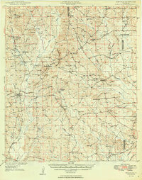
1949 · Bienville
USGS Topo · 1:62,500
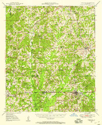
1949 · Gibsland
USGS Topo · 1:62,500
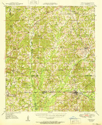
1950 · Gibsland
USGS Topo · 1:62,500
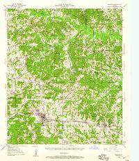
1950 · Arcadia
USGS Topo · 1:62,500
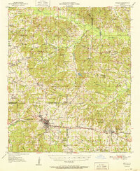
1951 · Arcadia
USGS Topo · 1:62,500

1955 · Shreveport
USGS Topo · 1:250,000

1956 · Shreveport
USGS Topo · 1:250,000