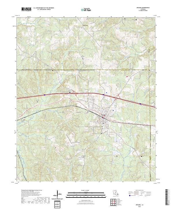
2024 Map of Arcadia
USGS Topo · Published 2024About this map
The Bienville Parish Courthouse serves as the central landmark for Arcadia, a North Louisiana hub defined by its intersection of major transportation corridors and deep-rooted community sites. This modern survey illustrates how historic land divisions like t19n r6w and t18n r5w persist alongside contemporary infrastructure, including the Arcadia-Bienville Parish Airport. The landscape is etched with local history, marked by numerous rural burial grounds such as Old Mount Calm Cem and Saint Duty Cem.
Find a feature on this map
124 named features on this map. Tap any name to fly to it.
Don’t see what you’re looking for? This feature index may not catch every label — zoom into the map to look around manually.
Map Details
Editions of this 2024 Arcadia Map
This is the sole edition of this map. No revisions or reprints were ever made.
Other maps of this area

1947 · Bienville
USGS Topo · 1:62,500

1948 · Jamestown
USGS Topo · 1:62,500

1949 · Jamestown
USGS Topo · 1:62,500

1949 · Bienville
USGS Topo · 1:62,500

1949 · Gibsland
USGS Topo · 1:62,500

1950 · Gibsland
USGS Topo · 1:62,500

1950 · Arcadia
USGS Topo · 1:62,500

1951 · Arcadia
USGS Topo · 1:62,500

1955 · Shreveport
USGS Topo · 1:250,000

1956 · Shreveport
USGS Topo · 1:250,000