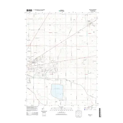
2013 Map of Arcadia
USGS Topo · Published 2013About this map
Findlay Upground Reservoir Number Two dominates the southern landscape of this Hancock County quadrangle, situated just east of the growing periphery of Findlay. The map documents a blend of academic, industrial, and agricultural life, featuring the Brown Mackie College-Findlay campus and nearby industrial corridors like Production Dr and Industrial Dr. To the northeast, the village of Arcadia remains a distinct center, tied to the surrounding countryside by historical burial grounds such as Arcadia Cem and Hamlin Cem.
Find a feature on this map
75 named features on this map. Tap any name to fly to it.
Don’t see what you’re looking for? This feature index may not catch every label — zoom into the map to look around manually.
Map Details
Editions of this 2013 Arcadia Map
This is the sole edition of this map. No revisions or reprints were ever made.
Other maps of this area

1901 · Fostoria
USGS Topo · 1:62,500

1903 · Fostoria
USGS Topo · 1:62,500

1903 · Findlay
USGS Topo · 1:62,500

1905 · Arlington
USGS Topo · 1:62,500

1907 · Arlington
USGS Topo · 1:24,000

1907 · Upper Sandusky
USGS Topo · 1:62,500

1950 · Marion
USGS Topo · 1:250,000

1956 · Toledo
USGS Topo · 1:250,000

1960 · Bloomdale
USGS Topo · 1:24,000

1960 · Alvada
USGS Topo · 1:24,000