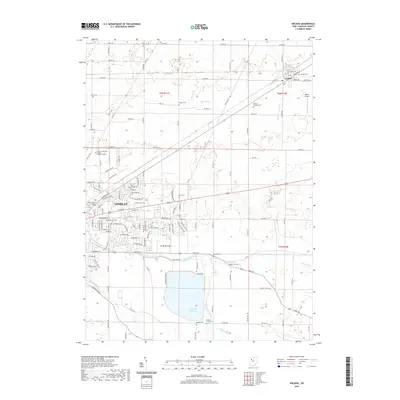
2019 Map of Arcadia
USGS Topo · Published 2019About this map
Findlay and Arcadia anchor this section of Hancock County, where the industrial and educational expansion of the regional seat meets the agricultural heritage of the surrounding plains. The eastern edge of Findlay shows significant development, including the Owens Community College - Findlay Campus and Brown Mackie College Findlay, alongside industrial corridors like Production Dr and Industrial Dr. To the east, the village of Arcadia remains a compact rural center at the intersection of E South St and Brown Rd.
Find a feature on this map
126 named features on this map. Tap any name to fly to it.
Don’t see what you’re looking for? This feature index may not catch every label — zoom into the map to look around manually.
Map Details
Editions of this 2019 Arcadia Map
This is the sole edition of this map. No revisions or reprints were ever made.
Other maps of this area

1901 · Fostoria
USGS Topo · 1:62,500

1903 · Fostoria
USGS Topo · 1:62,500

1903 · Findlay
USGS Topo · 1:62,500

1905 · Arlington
USGS Topo · 1:62,500

1907 · Arlington
USGS Topo · 1:24,000

1907 · Upper Sandusky
USGS Topo · 1:62,500

1950 · Marion
USGS Topo · 1:250,000

1956 · Toledo
USGS Topo · 1:250,000

1960 · Bloomdale
USGS Topo · 1:24,000

1960 · Alvada
USGS Topo · 1:24,000