
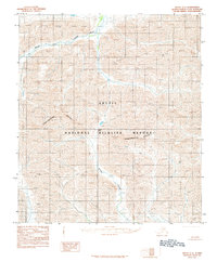
1983 Map of Arctic B-3
USGS Topo · Published 1984About this map
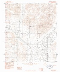
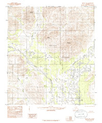
The Arctic National Wildlife Refuge dominates this landscape, showing the remote Interior Alaska wilderness as it was documented in the early 1980s. The terrain is defined by the drainage systems of the Junjik River and the East Fork Chandalar River, which wind through a complex network of glacial valleys and alpine peaks. Significant elevations include Water Creek Mountain in the north and Yasuda Mountain centrally, while the northeastern quadrant is marked by the high slopes of Nichenthraw Mountain. Numerous remote water bodies such as Noah Lake, Tinjik Lake, and Below Tree Lake are scattered across the lower elevations. The map provides a detailed view of the natural hydrology and topography before any modern developments, reflecting a region where there are no roads or trails as noted in the road legend of the era.
Find a feature on this map
13 named features on this map. Tap any name to fly to it.
Don’t see what you’re looking for? This feature index may not catch every label — zoom into the map to look around manually.
Map Details
Editions of this 1983 Arctic B-3 Map
3 editions found
Other maps of this area

1951 · Arctic
USGS Topo · 1:250,000

1956 · Arctic
USGS Topo · 1:250,000

1972 · Arctic A-3
USGS Topo · 1:63,360
1972 · Arctic A-4
USGS Topo · 1:63,360

1972 · Arctic A-2
USGS Topo · 1:63,360
1983 · Arctic B-4
USGS Topo · 1:63,360

1983 · Arctic C-3
USGS Topo · 1:63,360

1983 · Arctic B-2
USGS Topo · 1:63,360

1983 · Arctic C-2
USGS Topo · 1:63,360
1983 · Arctic C-4
USGS Topo · 1:63,360