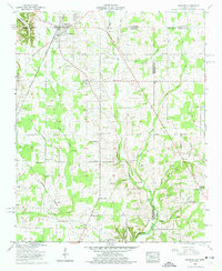
1958 Map of Ardmore
USGS Topo · Published 1974About this map
The town of Ardmore straddles the state line, serving as a hub for the agricultural communities of north Alabama and southern Tennessee during the mid-century. This landscape is deeply etched with the history of the Chickasaw Boundary and the vital transportation corridor of the Louisville And Nashville railroad. The rural character is defined by a dense network of family-named landmarks and institutions, including Mays Chapel, Jennings Chapel, and the Wooley Springs Sch, reflecting a time when small community centers were the heartbeat of the countryside.
Find a feature on this map
63 named features on this map. Tap any name to fly to it.
Don’t see what you’re looking for? This feature index may not catch every label — zoom into the map to look around manually.
Map Details
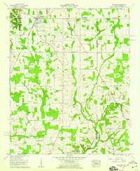
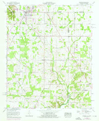
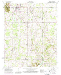
Editions of this 1958 Ardmore Map
4 editions found
Other maps of this area

1888 · Huntsville
USGS Topo · 1:125,000

1892 · Huntsville
USGS Topo · 1:125,000

1935 · Athens
USGS Topo · 1:24,000

1936 · Jeff
USGS Topo · 1:24,000

1936 · Capshaw
USGS Topo · 1:24,000

1936 · Taft
USGS Topo · 1:24,000

1936 · Elkmont
USGS Topo · 1:24,000

1936 · Ardmore
USGS Topo · 1:24,000

1936 · Toney
USGS Topo · 1:24,000

1936 · Elkton
USGS Topo · 1:24,000