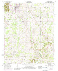
1958 Map of Ardmore
USGS Topo · Published 1987About this map
Ardmore sits at the intersection of five counties and two states, serving as a significant border community where the Louisville and Nashville railroad tracks cut through the town's core. The landscape is heavily marked by late-19th and early-20th-century rural infrastructure, including the historical Chickasaw Boundary line crossing the southern portion of the sheet. Numerous small family burial grounds and community landmarks like Delap-Clement Cem, Gatlin Cem, and Lewter Chapel reveal the ancestral footprint of the region's farming families.
Find a feature on this map
60 named features on this map. Tap any name to fly to it.
Don’t see what you’re looking for? This feature index may not catch every label — zoom into the map to look around manually.
Map Details
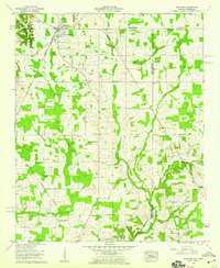
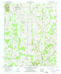
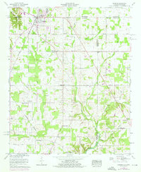
Editions of this 1958 Ardmore Map
4 editions found
Other maps of this area

1888 · Huntsville
USGS Topo · 1:125,000

1892 · Huntsville
USGS Topo · 1:125,000

1935 · Athens
USGS Topo · 1:24,000

1936 · Jeff
USGS Topo · 1:24,000

1936 · Capshaw
USGS Topo · 1:24,000

1936 · Taft
USGS Topo · 1:24,000

1936 · Elkmont
USGS Topo · 1:24,000

1936 · Ardmore
USGS Topo · 1:24,000

1936 · Toney
USGS Topo · 1:24,000

1936 · Elkton
USGS Topo · 1:24,000