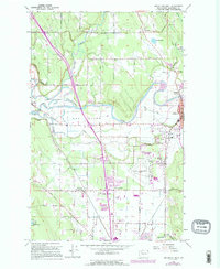
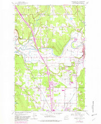
1956 Map of Arlington West
USGS Topo · Published 1995About this map
The Stillaguamish River snakes through the center of this Snohomish County landscape, creating a complex network of waterways including Town Slough, S Slough, and the prominent landmass known as The Island. During this mid-century period, the area around Arlington and Arlington Junction reflects a transition from rural riverfront settlements to a more structured infrastructure, anchored by the Arlington Municipal Airport and the emerging commercial hub at Smokey Point.
Find a feature on this map
51 named features on this map. Tap any name to fly to it.
Don’t see what you’re looking for? This feature index may not catch every label — zoom into the map to look around manually.
Map Details
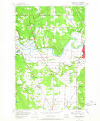
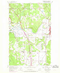
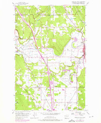
Editions of this 1956 Arlington West Map
6 editions found
Other maps of this area

1911 · Mount Vernon
USGS Topo · 1:125,000

1940 · Mt Vernon
USGS Topo · 1:62,500

1941 · Marysville
USGS Topo · 1:62,500

1943 · Marysville
USGS Topo · 1:62,500

1943 · Mt Vernon
USGS Topo · 1:62,500

1943 · Stanwood
USGS Topo · 1:62,500

1944 · Clear Lake
USGS Topo · 1:62,500

1956 · Tulalip
USGS Topo · 1:24,000

1956 · Arlington West
USGS Topo · 1:24,000

1956 · Arlington East
USGS Topo · 1:24,000