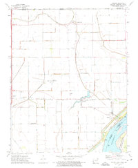
1972 Map of Armorel
USGS Topo · Published 1975About this map
Pemiscot Bayou and Crooked Lake Bayou define the drainage of this Mississippi River floodplain, where a sophisticated network of numbered ditches such as Ditch No 30 and Ditch No 7 converted former wetlands into a productive agricultural landscape. The region is marked by small settlements including Armorel, Number Nine, and the evocatively named Promised Land, while the St Louis - San Francisco railroad provides the primary east-west transportation artery.
Find a feature on this map
62 named features on this map. Tap any name to fly to it.
Don’t see what you’re looking for? This feature index may not catch every label — zoom into the map to look around manually.
Map Details
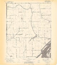
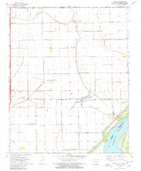
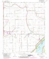
Editions of this 1972 Armorel Map
4 editions found
Other maps of this area

1939 · Hales Point
USGS Topo · 1:62,500

1939 · Caruthersville
USGS Topo · 1:62,500

1939 · Blytheville
USGS Topo · 1:62,500

1940 · Hayti
USGS Topo · 1:62,500

1951 · Caruthersville
USGS Topo · 1:62,500

1952 · Hales Point
USGS Topo · 1:62,500

1955 · Hayti
USGS Topo · 1:62,500

1955 · Blytheville
USGS Topo · 1:62,500

1956 · Dyersburg
USGS Topo · 1:250,000

1956 · Blytheville
USGS Topo · 1:250,000