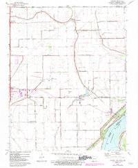
1972 Map of Armorel
USGS Topo · Published 1983About this map
Pemiscot Bayou and Crooked Lake Bayou snake through this Mississippi River delta landscape, where the tri-state borders of Arkansas, Tennessee, and Missouri converge. The intricate network of drainage channels, including Ditch No 44 and Ditch No 76, illustrates the intensive hydrological management required for agriculture in this low-lying region. Smaller settlements like Armorel and Number Nine are connected by the Burlington Northern railroad, which parallels the river's course.
Find a feature on this map
59 named features on this map. Tap any name to fly to it.
Don’t see what you’re looking for? This feature index may not catch every label — zoom into the map to look around manually.
Map Details
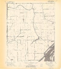
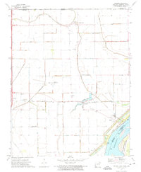
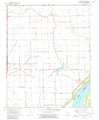
Editions of this 1972 Armorel Map
4 editions found
Other maps of this area

1939 · Hales Point
USGS Topo · 1:62,500

1939 · Caruthersville
USGS Topo · 1:62,500

1939 · Blytheville
USGS Topo · 1:62,500

1940 · Hayti
USGS Topo · 1:62,500

1951 · Caruthersville
USGS Topo · 1:62,500

1952 · Hales Point
USGS Topo · 1:62,500

1955 · Hayti
USGS Topo · 1:62,500

1955 · Blytheville
USGS Topo · 1:62,500

1956 · Dyersburg
USGS Topo · 1:250,000

1956 · Blytheville
USGS Topo · 1:250,000