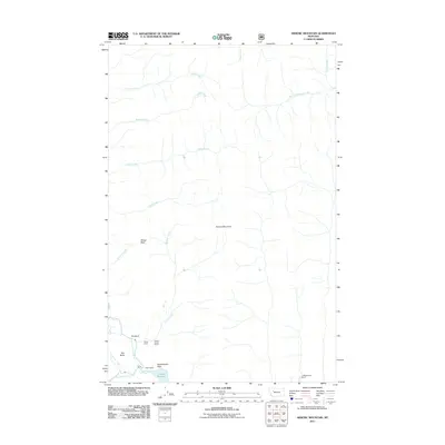
2011 Map of Arsenic Mountain
USGS Topo · Published 2011About this map
Arsenic Mountain dominates this high-country landscape, where the North Fork Sun River and South Fork Sun River converge into the Gibson Reservoir at the southern edge of the quadrangle. The topography reflects a transition from high peaks like Sun Butte to the lower elevation Reclamation Flats. This 2011 survey documents a remote recreational and ranching corridor, featuring established outposts such as the Sorrell Guest Resort, K L Ranch, and Klicks Resort. The map also details the complex drainage network feeding the reservoir, including the long paths of Arsenic Creek and Cabin Creek, which flow through features like Sheep Reef and The Bars. The inclusion of the JJ Wilderness Ranch highlights the ongoing legacy of wilderness management and private landholdings within the surrounding public forest lands.
Find a feature on this map
24 named features on this map. Tap any name to fly to it.
Don’t see what you’re looking for? This feature index may not catch every label — zoom into the map to look around manually.
Map Details
Editions of this 2011 Arsenic Mountain Map
This is the sole edition of this map. No revisions or reprints were ever made.
Other maps of this area

1903 · Saypo
USGS Topo · 1:125,000

1955 · Choteau
USGS Topo · 1:250,000

1957 · Choteau
USGS Topo · 1:250,000

1958 · Choteau
USGS Topo · 1:250,000

1958 · Ear Mountain
USGS Topo · 1:24,000

1958 · Our Lake
USGS Topo · 1:24,000

1958 · Sawtooth Ridge
USGS Topo · 1:24,000

1958 · Glenn Creek
USGS Topo · 1:24,000

1958 · Pretty Prairie
USGS Topo · 1:24,000

1958 · Gates Park
USGS Topo · 1:24,000