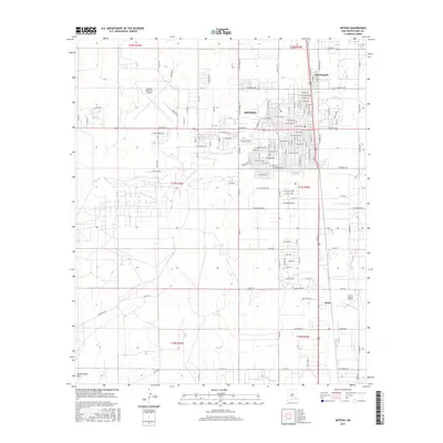
2017 Map of Artesia
USGS Topo · Published 2017About this map
Artesia serves as the central hub of this 2017 study, showing a grid of residential and industrial development in the Pecos Valley. The map captures the city's expansion north toward Morningside and south to the community of Atoka. Aviation is a significant theme of the landscape, marked by the Artesia Municipal Airport northwest of the city center and the smaller 2 X 4 Ranch Airport to the southeast. Water management and drainage are evidenced by the winding path of Eagle Cr and the southern basin of Tumbleweed Draw. This survey provides a modern view of the transport network, including the prominent north-south corridor of Route 285, which links the various settlements and ranches across the Eddy County terrain.
Find a feature on this map
129 named features on this map. Tap any name to fly to it.
Don’t see what you’re looking for? This feature index may not catch every label — zoom into the map to look around manually.
Map Details
Editions of this 2017 Artesia Map
This is the sole edition of this map. No revisions or reprints were ever made.
Other maps of this area

1953 · Espuela
USGS Topo · 1:24,000

1954 · Carlsbad
USGS Topo · 1:250,000

1955 · Artesia
USGS Topo · 1:24,000

1955 · Artesia NE
USGS Topo · 1:24,000

1955 · Spring Lake
USGS Topo · 1:24,000

1955 · Dayton
USGS Topo · 1:24,000

1955 · Lake Mc Millan North
USGS Topo · 1:24,000

1955 · Hope NE
USGS Topo · 1:24,000

1956 · Parish Ranch
USGS Topo · 1:24,000

1956 · Hope SE
USGS Topo · 1:24,000