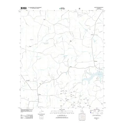
2012 Map of Ashland
USGS Topo · Published 2012About this map
Ashland serves as the focal point for this 2012 survey, situated amidst a landscape defined by its numerous small waterways and the sprawling Mill Creek Reservoir. The mapping shows a network of parish roads connecting small communities such as Old Saline, New Ramah, and Brown. Local history is preserved in family-named landmarks and resting places, including the Burt Cem and the nearby Burt Place.
Find a feature on this map
134 named features on this map. Tap any name to fly to it.
Don’t see what you’re looking for? This feature index may not catch every label — zoom into the map to look around manually.
Map Details
Editions of this 2012 Ashland Map
This is the sole edition of this map. No revisions or reprints were ever made.
Other maps of this area

1947 · Goldonna
USGS Topo · 1:62,500

1947 · Ashland
USGS Topo · 1:62,500

1947 · Bienville
USGS Topo · 1:62,500

1948 · Jamestown
USGS Topo · 1:62,500

1949 · Jamestown
USGS Topo · 1:62,500

1949 · Bienville
USGS Topo · 1:62,500

1955 · Shreveport
USGS Topo · 1:250,000

1956 · Shreveport
USGS Topo · 1:250,000

1957 · Goldonna
USGS Topo · 1:62,500

1957 · Ashland
USGS Topo · 1:62,500