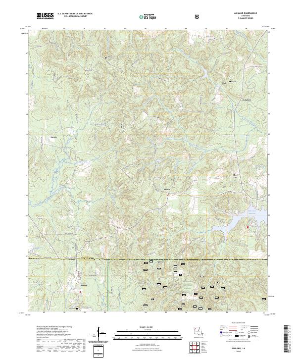
2024 Map of Ashland
USGS Topo · Published 2024About this map
Ashland sits at the junction of Bienville and Natchitoches Parishes, anchoring a landscape where the dense timber of the Kisatchie National Forest meets a network of historic farming settlements. The terrain is defined by the headwaters of numerous creeks, including Topy Creek and Prothro Mill Creek, which wind through the low ridges and hollows characteristic of northern Louisiana. Evidence of the area's rural heritage is preserved through several family and community burial grounds, such as Burt Cem and the Old Saline Cem located near the small community of Lucky. Local industry and infrastructure are represented by the Mill Creek Reservoir in the eastern section of the map and the presence of named landmarks like Shell Hill. Small, dispersed settlements like Guynes, Brown, and Burkplace are connected by a web of parish roads, reflecting a resilient pattern of rural life and land use.
Find a feature on this map
95 named features on this map. Tap any name to fly to it.
Don’t see what you’re looking for? This feature index may not catch every label — zoom into the map to look around manually.
Map Details
Editions of this 2024 Ashland Map
This is the sole edition of this map. No revisions or reprints were ever made.
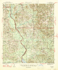
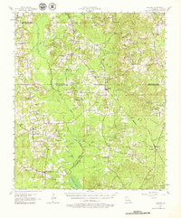
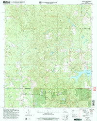
Historical Maps of Pine Grove Through Time
5 maps found