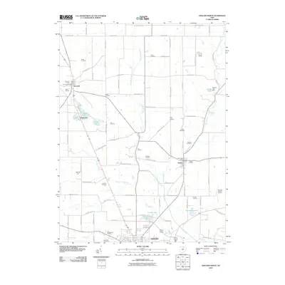
2010 Map of Ashland North
USGS Topo · Published 2010About this map
Savannah and Nankin anchor this agricultural and residential landscape north of Ashland at the turn of the 21st century. The map reveals a dense network of country burial grounds, including the Gregg Cemetery, Rickert Cemetery, and Ford Cemetery, which provide significant points of interest for genealogical research in this part of northern Ohio. The terrain is defined by a series of small water bodies and drainage systems, most notably Bailey Lake, Mud Lake, and the meandering Leidigh Mill Creek.
Find a feature on this map
80 named features on this map. Tap any name to fly to it.
Don’t see what you’re looking for? This feature index may not catch every label — zoom into the map to look around manually.
Map Details
Editions of this 2010 Ashland North Map
This is the sole edition of this map. No revisions or reprints were ever made.
Other maps of this area

1904 · Wellington
USGS Topo · 1:62,500

1906 · Wellington
USGS Topo · 1:62,500

1906 · West Salem
USGS Topo · 1:62,500

1908 · Ashland
USGS Topo · 1:62,500

1908 · West Salem
USGS Topo · 1:62,500

1908 · New London
USGS Topo · 1:62,500

1950 · Marion
USGS Topo · 1:250,000

1956 · Toledo
USGS Topo · 1:250,000

1960 · New London
USGS Topo · 1:24,000

1960 · Nova
USGS Topo · 1:24,000