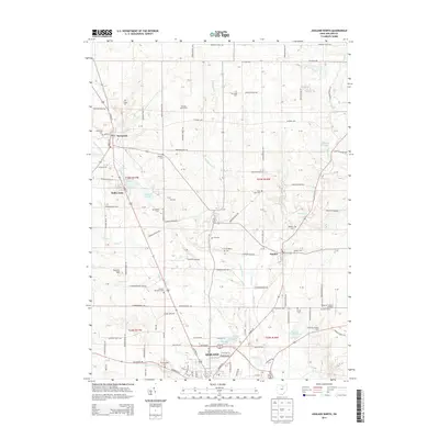
2013 Map of Ashland North
USGS Topo · Published 2013About this map
Ashland and its northern surroundings define this agricultural landscape in the early 21st century. The map reveals a high density of ancestral burial sites, including Old Hopewell Cem and Beeghley Cem, which anchor the local history of the surrounding townships. North of the city, the villages of Savannah and Nankin are connected by a network of rural roads such as Co Road 620 and Township Road 964.
Find a feature on this map
150 named features on this map. Tap any name to fly to it.
Don’t see what you’re looking for? This feature index may not catch every label — zoom into the map to look around manually.
Map Details
Editions of this 2013 Ashland North Map
This is the sole edition of this map. No revisions or reprints were ever made.
Other maps of this area

1904 · Wellington
USGS Topo · 1:62,500

1906 · Wellington
USGS Topo · 1:62,500

1906 · West Salem
USGS Topo · 1:62,500

1908 · Ashland
USGS Topo · 1:62,500

1908 · West Salem
USGS Topo · 1:62,500

1908 · New London
USGS Topo · 1:62,500

1950 · Marion
USGS Topo · 1:250,000

1956 · Toledo
USGS Topo · 1:250,000

1960 · New London
USGS Topo · 1:24,000

1960 · Nova
USGS Topo · 1:24,000