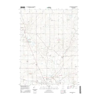
2016 Map of Ashland North
USGS Topo · Published 2016About this map
The Ashland city limits extend into the southern portion of this landscape, where the northern residential expansion meets the rural character of Ashland County. Headwaters and small tributaries including Leidigh Mill Cr, Orange Cr, and the Vermillion River thread through the terrain, defining the drainage patterns of the region. This 2016 survey illustrates the persistent agricultural and small-town structure of north-central Ohio, centered on the villages of Savannah, Bailey Lake, and Nankin.
Find a feature on this map
142 named features on this map. Tap any name to fly to it.
Don’t see what you’re looking for? This feature index may not catch every label — zoom into the map to look around manually.
Map Details
Editions of this 2016 Ashland North Map
This is the sole edition of this map. No revisions or reprints were ever made.
Other maps of this area

1904 · Wellington
USGS Topo · 1:62,500

1906 · Wellington
USGS Topo · 1:62,500

1906 · West Salem
USGS Topo · 1:62,500

1908 · Ashland
USGS Topo · 1:62,500

1908 · West Salem
USGS Topo · 1:62,500

1908 · New London
USGS Topo · 1:62,500

1950 · Marion
USGS Topo · 1:250,000

1956 · Toledo
USGS Topo · 1:250,000

1960 · New London
USGS Topo · 1:24,000

1960 · Nova
USGS Topo · 1:24,000