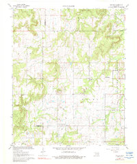
1967 Map of Ashland
USGS Topo · Published 1988About this map
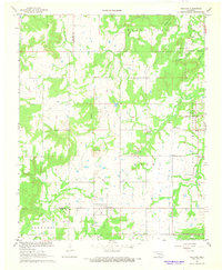
The community of Ashland and its surrounding countryside in Pittsburg County are captured here in the late 1960s, showing a landscape defined by ranching and resource extraction. The eastern edge of the map is dominated by the U S Naval Ammunition Depot, a military reservation featuring an organized grid of access roads such as Road Five and Road Six. This installation contrasts sharply with the irregular terrain of the western half, where Ranch Creek and Coon Creek wind through the hills of the Stuart and Jackson districts.
Find a feature on this map
32 named features on this map. Tap any name to fly to it.
Don’t see what you’re looking for? This feature index may not catch every label — zoom into the map to look around manually.
Map Details
Editions of this 1967 Ashland Map
2 editions found
Other maps of this area

1896 · Coalgate
USGS Topo · 1:125,000

1898 · McAlester
USGS Topo · 1:125,000

1899 · Coalgate
USGS Topo · 1:125,000

1900 · Coalgate
USGS Topo · 1:125,000

1909 · Mc Alester
USGS Topo · 1:125,000

1950 · Mcalester
USGS Topo · 1:250,000

1957 · Ardmore
USGS Topo · 1:250,000

1962 · McAlester
USGS Topo · 1:250,000

1963 · Ardmore
USGS Topo · 1:250,000

1965 · McAlester
USGS Topo · 1:250,000