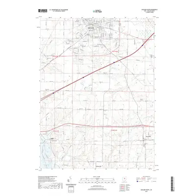
2019 Map of Ashland South
USGS Topo · Published 2019About this map
Ashland serves as the focal point of this regional study, centered around the Ashland County Courthouse and the sprawling campus of Ashland University. The landscape to the south is defined by a dense network of country roads and scattered rural settlements, including Mifflin and Hayesville. Waterways such as Newell Run and Oldtown Run drain the rolling terrain, eventually leading toward the shores of Charles Mill Lake in the southwest corner.
Find a feature on this map
63 named features on this map. Tap any name to fly to it.
Don’t see what you’re looking for? This feature index may not catch every label — zoom into the map to look around manually.
Map Details
Editions of this 2019 Ashland South Map
This is the sole edition of this map. No revisions or reprints were ever made.
Other maps of this area

1906 · West Salem
USGS Topo · 1:62,500

1908 · Ashland
USGS Topo · 1:62,500

1908 · West Salem
USGS Topo · 1:62,500

1912 · Loudonville
USGS Topo · 1:62,500

1912 · Perrysville
USGS Topo · 1:62,500

1914 · Loudonville
USGS Topo · 1:62,500

1915 · Perrysville
USGS Topo · 1:62,500

1943 · Loudonville
USGS Topo · 1:62,500

1944 · Perrysville
USGS Topo · 1:62,500

1950 · Marion
USGS Topo · 1:250,000
Featured Places
- Ashland, OH
- Hayesville, OH
- Mifflin, OH
- South Peninsula Cottage Area, OH
- Carpenters Mobile Home Park, Ashland