2023 Map of Ashtabula North
USGS Topo · Published 2023About this map
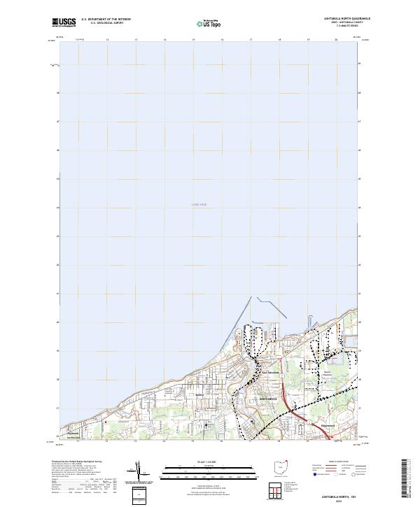
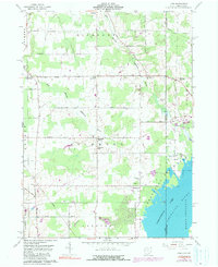
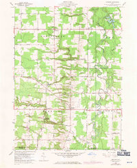
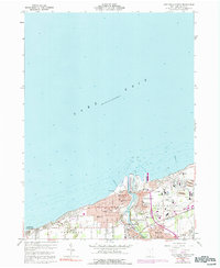
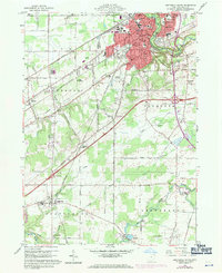
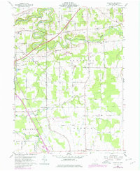
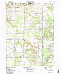
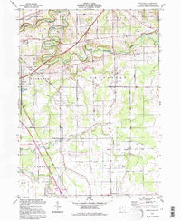
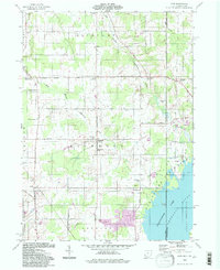
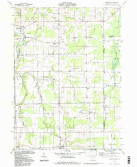
Lake Erie defines the northern reaches of this coastal landscape, where the Ashtabula River carves through the urban center of Ashtabula. This modern survey documents the dense industrial and residential layout of the port area, specifically the district known as Harbor and the residential expansion of East Ashtabula. The map illustrates the specialized infrastructure required for a Great Lakes maritime economy, showing the transition from the lakefront to the inland neighborhoods of Edgewood and Saybrook-on-the-Lake. Key community institutions are anchored here, including Kent State University at Ashtabula and the historic Saint Josephs Cem. To the east, the terrain softens into the wetlands of Beaver Meadows and the drainage of Morses Slough, providing a detailed view of how the natural geography of Fields Brook and Red Brook has been integrated into the modern city's footprint.
Find a feature on this map
84 named features on this map. Tap any name to fly to it.
Don’t see what you’re looking for? This feature index may not catch every label — zoom into the map to look around manually.
Map Details
Editions of this 2023 Ashtabula North Map
This is the sole edition of this map. No revisions or reprints were ever made.
Historical Maps of Avondale Through Time
26 maps found
1959 Cherry Valley
Ashtabula County, OH
1959 Dorset
Ashtabula County, OH
1959 East Trumbull
Ashtabula County, OH
1959 Leon
Ashtabula County, OH
1959 Windsor
Ashtabula County, OH
1960 Ashtabula North
Ashtabula County, OH
1960 Ashtabula South
Ashtabula County, OH
1960 Gageville
Ashtabula County, OH
1960 Pierpont
Ashtabula County, OH
1994 Cherry Valley
Ashtabula County, OH
1994 Dorset
Ashtabula County, OH
1994 East Trumbull
Ashtabula County, OH
1994 Gageville
Ashtabula County, OH
1994 Leon
Ashtabula County, OH
1994 Pierpont
Ashtabula County, OH
1994 Windsor
Ashtabula County, OH
2023 Ashtabula North
Ashtabula County, OH
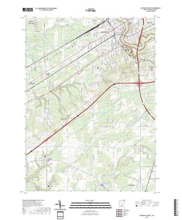
2023 Ashtabula South
Ashtabula County, OH
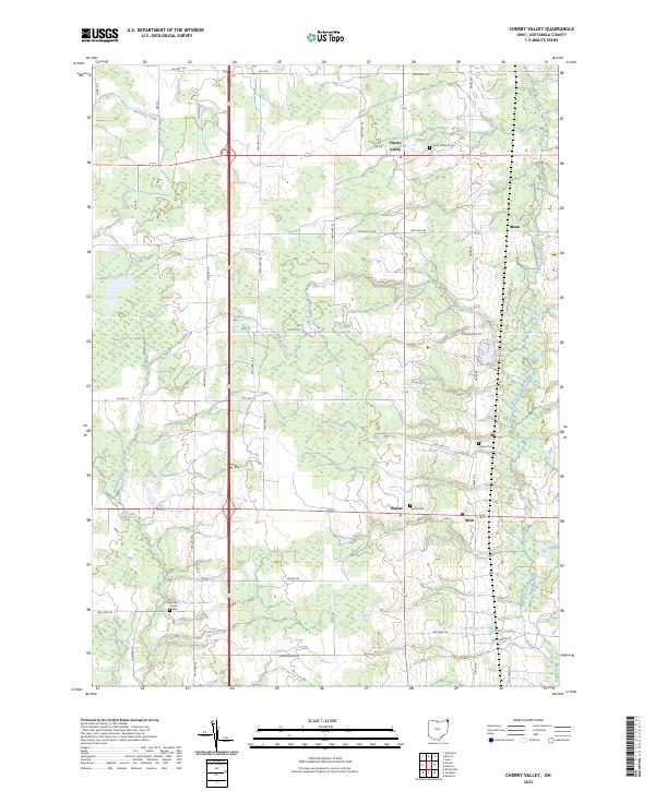
2023 Cherry Valley
Ashtabula County, OH
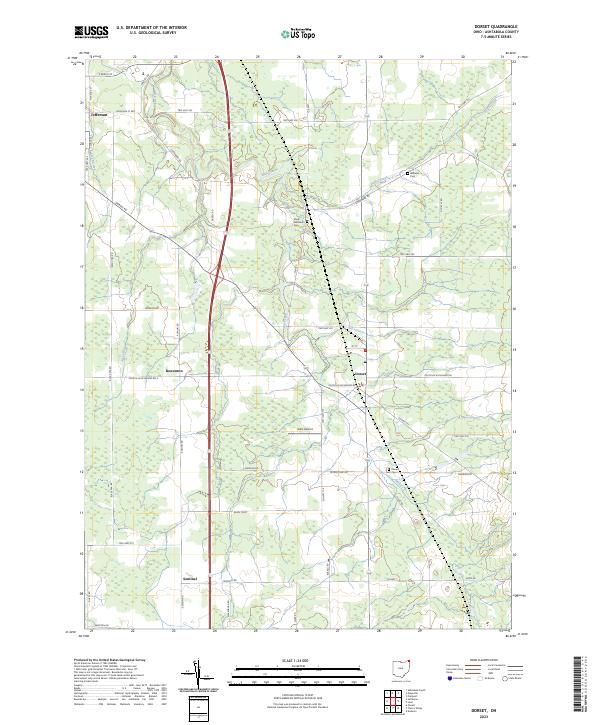
2023 Dorset
Ashtabula County, OH
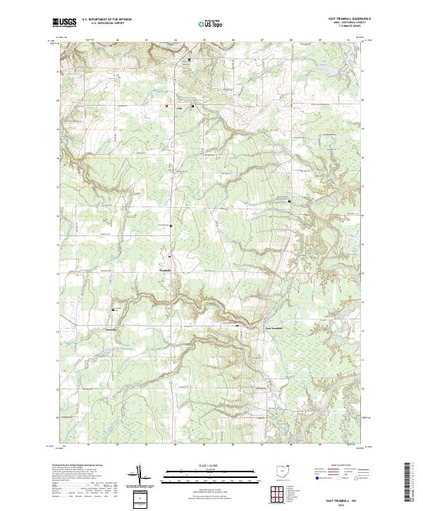
2023 East Trumbull
Ashtabula County, OH
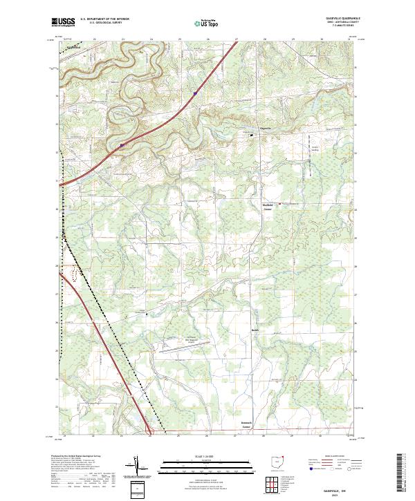
2023 Gageville
Ashtabula County, OH
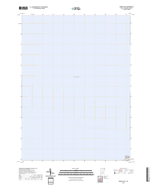
2023 Geneva OE N
Ashtabula County, OH
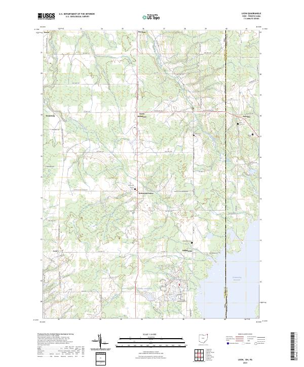
2023 Leon
Ashtabula County, OH
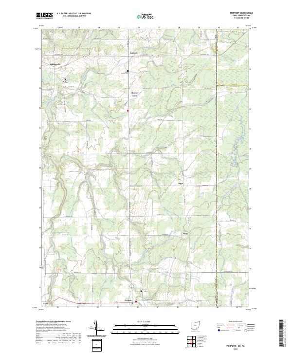
2023 Pierpont
Ashtabula County, OH
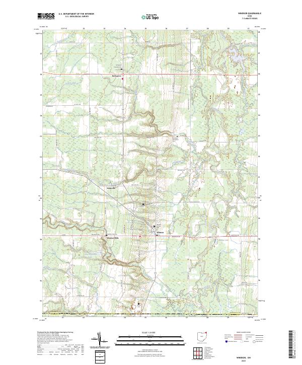
2023 Windsor
Ashtabula County, OH