
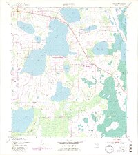
1953 Map of Ashton
USGS Topo · Published 1954About this map
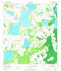
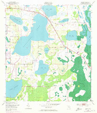
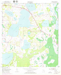
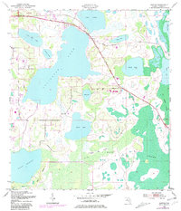
Ashton sits at the northern edge of this Florida landscape, where mid-century surveying recorded a complex network of freshwater lakes and wetlands before significant modern development altered the region's hydrology. The central portion of the map is dominated by the sprawling Alligator Lake, which connects through narrow channels and wetlands to neighboring bodies such as Lake Lizzie, Sardine Lake, and Pearl Lake. This interconnected system of water suggests a landscape shaped by seasonal fluctuations, long before the establishment of heavy water management infrastructure.
Find a feature on this map
21 named features on this map. Tap any name to fly to it.
Don’t see what you’re looking for? This feature index may not catch every label — zoom into the map to look around manually.
Map Details
Editions of this 1953 Ashton Map
6 editions found
Other maps of this area

1953 · Cypress Lake
USGS Topo · 1:24,000

1953 · Holopaw SE
USGS Topo · 1:24,000

1953 · Narcoossee SE
USGS Topo · 1:24,000

1953 · St Cloud North
USGS Topo · 1:24,000

1953 · Narcoossee
USGS Topo · 1:24,000

1953 · St Cloud South
USGS Topo · 1:24,000

1953 · Holopaw SW
USGS Topo · 1:24,000

1953 · Holopaw
USGS Topo · 1:24,000

1955 · Orlando
USGS Topo · 1:250,000

1957 · Orlando
USGS Topo · 1:250,000