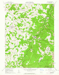
1961 Map of Ashville
USGS Topo · Published 1963About this map
The Pennsylvania Railroad winds through the rugged terrain of the Allegheny Mountains, serving as the industrial backbone for the small mining and railroad towns of Cambria County. Along Clearfield Creek, settlements like Ashville and Amsbry grew around the local extractive industries, while the upland areas features numerous Strip Mines, Quarries, and shaft Mines. The presence of St Thomas Cem, St Josephs Cem, and Amsbry Union Cem near the various parish churches like St Monica Cath Ch speaks to the established immigrant communities that settled these ridges.
Find a feature on this map
50 named features on this map. Tap any name to fly to it.
Don’t see what you’re looking for? This feature index may not catch every label — zoom into the map to look around manually.
Map Details
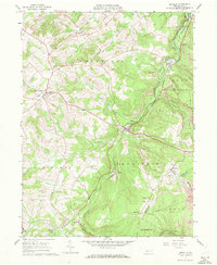
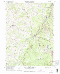
Editions of this 1961 Ashville Map
3 editions found
Other maps of this area

1902 · Ebensburg
USGS Topo · 1:62,500

1902 · Patton
USGS Topo · 1:62,500

1902 · Hollidaysburg
USGS Topo · 1:62,500

1903 · Hollidaysburg
USGS Topo · 1:62,500

1904 · Patton
USGS Topo · 1:62,500

1904 · Ebensburg
USGS Topo · 1:62,500

1920 · Altoona
USGS Topo · 1:62,500

1922 · Altoona
USGS Topo · 1:62,500

1943 · Punxsutawney
USGS Topo · 1:125,000

1953 · Pittsburgh
USGS Topo · 1:250,000