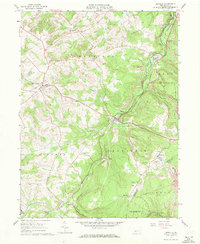
1961 Map of Ashville
USGS Topo · Published 1972About this map
Clearfield Creek winds northward through this portion of the Allegheny Front, serving as a central artery for several small settlements during the early 1960s. The landscape is defined by its industrial and spiritual markers, with numerous strip mines dotting the hillsides near Ashville and Coupon. The presence of several distinct parishes, including St Monica Cath Ch in Chest Springs and St Josephs Ch near the Cambria and Blair County line, reflects the established communal structure of these upland villages.
Find a feature on this map
43 named features on this map. Tap any name to fly to it.
Don’t see what you’re looking for? This feature index may not catch every label — zoom into the map to look around manually.
Map Details
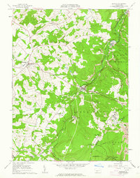
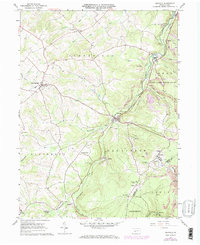
Editions of this 1961 Ashville Map
3 editions found
Other maps of this area

1902 · Ebensburg
USGS Topo · 1:62,500

1902 · Patton
USGS Topo · 1:62,500

1902 · Hollidaysburg
USGS Topo · 1:62,500

1903 · Hollidaysburg
USGS Topo · 1:62,500

1904 · Patton
USGS Topo · 1:62,500

1904 · Ebensburg
USGS Topo · 1:62,500

1920 · Altoona
USGS Topo · 1:62,500

1922 · Altoona
USGS Topo · 1:62,500

1943 · Punxsutawney
USGS Topo · 1:125,000

1953 · Pittsburgh
USGS Topo · 1:250,000