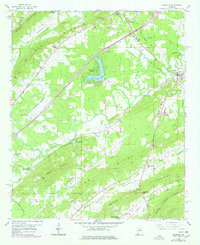
1958 Map of Ashville
USGS Topo · Published 1978About this map
Ashville serves as the focal point of this St. Clair County landscape, situated at the intersection of local routes and the Southern railroad line. The map reveals a community defined by its proximity to significant terrain features like Blount Mountain and Pine Mountain Ridge, which channel the flow of Big Canoe Creek and Shoal Creek. A network of rural country churches, including Reeves Grove Ch, Murrays Chapel, and Mt Beulah Ch, highlights the established social fabric of the mid-20th century.
Find a feature on this map
44 named features on this map. Tap any name to fly to it.
Don’t see what you’re looking for? This feature index may not catch every label — zoom into the map to look around manually.
Map Details
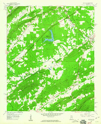
Editions of this 1958 Ashville Map
2 editions found
Other maps of this area

1889 · Springville
USGS Topo · 1:125,000

1892 · Springville
USGS Topo · 1:125,000

1947 · Cox Gap
USGS Topo · 1:24,000

1947 · Ragland
USGS Topo · 1:62,500

1947 · Ragland
USGS Topo · 1:24,000

1947 · Steele
USGS Topo · 1:24,000

1947 · Steele
USGS Topo · 1:62,500

1953 · Birmingham
USGS Topo · 1:250,000

1956 · Birmingham
USGS Topo · 1:250,000

1957 · Birmingham
USGS Topo · 1:250,000