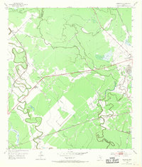
1952 Map of Ashwood
USGS Topo · Published 1970About this map
Old Ocean and Sugar Valley anchor this mid-century landscape where industrial infrastructure meets the winding bayous of the Texas Gulf Coast. The transition from an agricultural past to an energy-focused economy is evident in the sprawling Oil Field and Oil Refinery that sit alongside established rural communities. Cultural landmarks such as Bethlehem Ch and the Free System Cem provide vital links for family history researchers, while the winding course of Caney Creek and its associated sloughs illustrate the complex drainage patterns of the region. The map captures a dual transit network of rail and road, with the Southern Pacific and Missouri Pacific lines bisecting the coastal prairie. Distinctive water features like Alligator Lake and Shoe Sugar Pond define the northern reaches, set against the meandering boundary of Matagorda and Brazoria counties.
Find a feature on this map
30 named features on this map. Tap any name to fly to it.
Don’t see what you’re looking for? This feature index may not catch every label — zoom into the map to look around manually.
Map Details
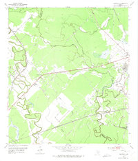
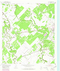
Editions of this 1952 Ashwood Map
4 editions found
Other maps of this area

1950 · Houston
USGS Topo · 1:250,000

1951 · Bay City
USGS Topo · 1:250,000

1952 · West Columbia
USGS Topo · 1:24,000

1952 · Sweeny
USGS Topo · 1:24,000

1952 · Danciger
USGS Topo · 1:24,000

1952 · Ashwood
USGS Topo · 1:24,000

1952 · Pledger
USGS Topo · 1:24,000

1952 · Bay City
USGS Topo · 1:24,000

1952 · Bay City NE
USGS Topo · 1:24,000

1952 · Van Vleck
USGS Topo · 1:24,000