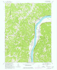
1968 Map of Athalia
USGS Topo · Published 1977About this map
The Ohio River divides the landscape of this 1968 survey, separating the riverfront communities of Athalia and Crown City in Ohio from the West Virginia shore. The map illustrates a transitional economy where riverside agriculture and navigation meet the industrial extraction of the hills, evidenced by numerous Strip Mine operations in the northwest. These uplands are part of the Wayne National Forest, where steep ridges like Sowards Ridge and Williams Ridge are cut by a dense network of drainages including Guyan Creek and Indian Creek. Historic land divisions are specifically noted, including the Congress Lands East of Scioto River and the Ohio Company Purchase. Local genealogy is well-served by the presence of small rural landmarks like Vinson Chapel, Cremeans Chapel, and Fairland Sch No 2, while the Baltimore and Ohio railroad tracks follow the West Virginia bank, serving the river valley's transit needs.
Find a feature on this map
64 named features on this map. Tap any name to fly to it.
Don’t see what you’re looking for? This feature index may not catch every label — zoom into the map to look around manually.
Map Details
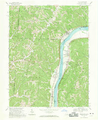
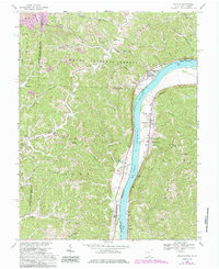
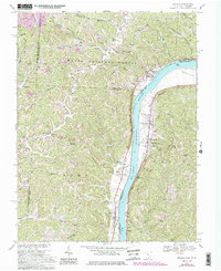
Editions of this 1968 Athalia Map
4 editions found
Other maps of this area

1892 · Huntington
USGS Topo · 1:125,000

1898 · Huntington
USGS Topo · 1:125,000

1901 · Guyandot
USGS Topo · 1:62,500

1902 · Guyandot
USGS Topo · 1:62,500

1902 · Milton
USGS Topo · 1:62,500

1906 · Athalia
USGS Topo · 1:62,500

1906 · Glenwood
USGS Topo · 1:62,500

1908 · Athalia
USGS Topo · 1:62,500

1908 · Glenwood
USGS Topo · 1:62,500

1931 · Milton
USGS Topo · 1:62,500