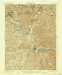
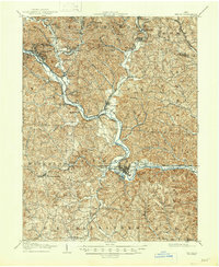
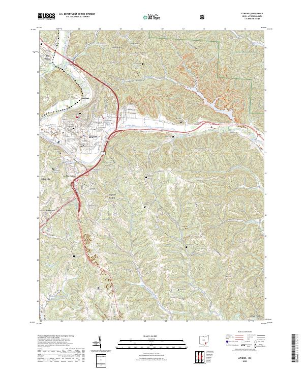
1905 Map of Athens
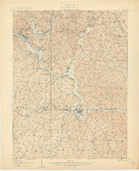
USGS Topo · Published 1937About this map
The Hocking River carves a central path through this early twentieth-century landscape, acting as the primary artery for both geography and commerce. This Hocking Valley region is defined by its industrial rail network, where the Hocking Valley RR, Kanawha and Michigan RR, and Baltimore and Ohio Southwestern RR converge to serve numerous coal-mining and salt-producing settlements. Towns like Nelsonville, Glouster, and Buchtel are shown at their industrial height, clustered along the creek valleys of Monday Creek and Sunday Creek. The terrain is characterized by intricate drainage patterns such as Snow Fork and Goose Run, illustrating the rugged topography that dictated the placement of early townships like Dover and Waterloo. Small, now-diminished locales including Modoc, Orbiston, and Floodwood appear as vital stops on the rail lines, providing a clear picture of the region's historical settlement density before the mid-century transition.
Find a feature on this map
63 named features on this map. Tap any name to fly to it.
Don’t see what you’re looking for? This feature index may not catch every label — zoom into the map to look around manually.
Map Details
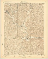
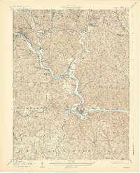
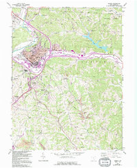
Editions of this 1905 Athens Map
6 editions found

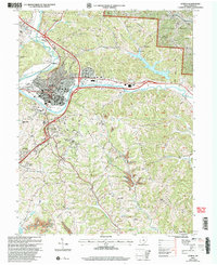
Historical Maps of Athens Through Time
9 maps found

Featured Locations
- Glouster, Trimble Township
- Chauncey, Dover Township
- Nelsonville, Trimble Township
- Athens, Athens Township
- The Plains, Athens Township