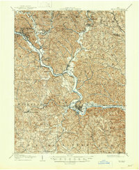
1905 Map of Athens
USGS Topo · Published 1947About this map
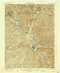
The Hocking River carves a deep valley through this corner of southeast Ohio, serving as the primary corridor for both commerce and settlement at the start of the 20th century. This area was a bustling industrial hub defined by the coal and rail trades, with a dense network of towns like Nelsonville, Chauncey, and Buchtel supporting local extraction efforts. The importance of transport is clear in the competing lines of the Hocking Valley and Kanawha and Michigan railroads, which followed the water gaps to move resources toward larger markets. Beyond the industrial riverfront, the map reveals a rugged landscape of ridges and hollows, such as Snake Hollow and Hollow, where smaller settlements like New Marshfield and Millfield were established near the confluence of Sunday Creek and Monday Creek. The presence of the Athens and Pomeroy Electric line underscores a period of modern transit growth reaching the regional center of Athens.
Find a feature on this map
76 named features on this map. Tap any name to fly to it.
Don’t see what you’re looking for? This feature index may not catch every label — zoom into the map to look around manually.
Map Details
Editions of this 1905 Athens Map
6 editions found
Other maps of this area

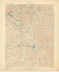
1903 · Athens
USGS Topo · 1:62,500

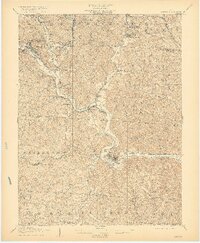
1904 · Zaleski
USGS Topo · 1:62,500

1904 · Chesterhill
USGS Topo · 1:62,500

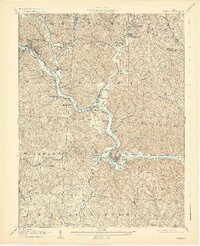
1905 · Athens
USGS Topo · 1:62,500

1905 · Wilkesville
USGS Topo · 1:62,500

1906 · Chesterhill
USGS Topo · 1:62,500

1907 · Pomeroy
USGS Topo · 1:62,500

1907 · Keno
USGS Topo · 1:62,500

1907 · Zaleski
USGS Topo · 1:62,500

1907 · Logan
USGS Topo · 1:62,500