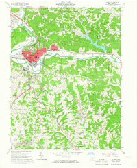
1961 Map of Athens
USGS Topo · Published 1966About this map
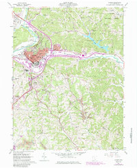
Ohio University and the city of Athens serve as the hub of this 1961 survey, where the Hocking River winds through a landscape of educational expansion and Appalachian terrain. The campus footprint is clearly defined, including the Stadium, Golf Course, and nearby Ohio University Airport. Beyond the city limits, the map illustrates the mid-century development of outdoor recreation at Strouds Run State Park and Dow Lake, contrasting with the industrial presence of Strip Mines and a Gravel Pit in the surrounding hills.
Find a feature on this map
70 named features on this map. Tap any name to fly to it.
Don’t see what you’re looking for? This feature index may not catch every label — zoom into the map to look around manually.
Map Details
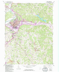
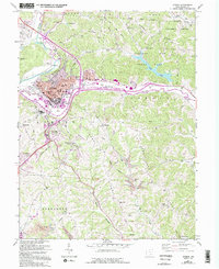
Editions of this 1961 Athens Map
7 editions found
Other maps of this area

1903 · Athens
USGS Topo · 1:62,500

1904 · Chesterhill
USGS Topo · 1:62,500

1905 · Athens
USGS Topo · 1:62,500

1906 · Chesterhill
USGS Topo · 1:62,500

1907 · Pomeroy
USGS Topo · 1:62,500

1907 · Keno
USGS Topo · 1:62,500

1947 · Columbus
USGS Topo · 1:250,000

1949 · Clarksburg
USGS Topo · 1:250,000

1956 · Clarksburg
USGS Topo · 1:250,000

1960 · Albany
USGS Topo · 1:24,000