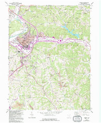
1961 Map of Athens
USGS Topo · Published 1995About this map
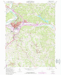
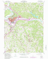
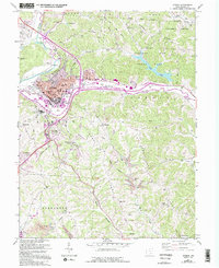
Athens serves as the focal point of this regional study, which documents the expansion of Ohio University and the surrounding valley floor during the mid-to-late 20th century. The landscape is defined by the winding course of the Hocking River, which separates the city center from the sprawling complex of the State Hospital and O'Bleness Hospital. Beyond the urban core, the map reveals a transition toward resource extraction and recreation, with numerous strip mines dotting the southern ridges and the established boundaries of the Wayne National Forest to the northeast.
Find a feature on this map
75 named features on this map. Tap any name to fly to it.
Don’t see what you’re looking for? This feature index may not catch every label — zoom into the map to look around manually.
Map Details
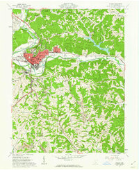
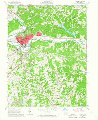
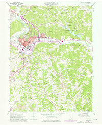
Editions of this 1961 Athens Map
7 editions found
Other maps of this area

1903 · Athens
USGS Topo · 1:62,500

1904 · Chesterhill
USGS Topo · 1:62,500

1905 · Athens
USGS Topo · 1:62,500

1906 · Chesterhill
USGS Topo · 1:62,500

1907 · Pomeroy
USGS Topo · 1:62,500

1907 · Keno
USGS Topo · 1:62,500

1947 · Columbus
USGS Topo · 1:250,000

1949 · Clarksburg
USGS Topo · 1:250,000

1956 · Clarksburg
USGS Topo · 1:250,000

1960 · Albany
USGS Topo · 1:24,000