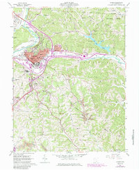
1961 Map of Athens
USGS Topo · Published 1985About this map
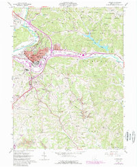
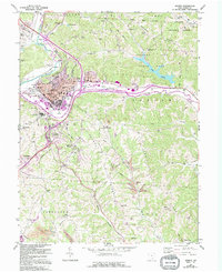
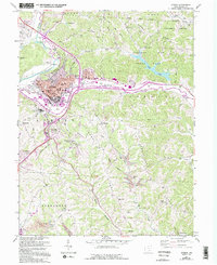
The Hocking River winds through the heart of this landscape, anchoring the academic and institutional life of Athens during the mid-20th century. At the center, the sprawling campus of Ohio University and the extensive grounds of the State Hospital define the city's character. Significant industrial and transportation infrastructure is evident, with the Baltimore and Ohio and Conrail lines tracking along the river valley, while a strip mine in the south and various gravel pits speak to the region's extractive activity.
Find a feature on this map
65 named features on this map. Tap any name to fly to it.
Don’t see what you’re looking for? This feature index may not catch every label — zoom into the map to look around manually.
Map Details
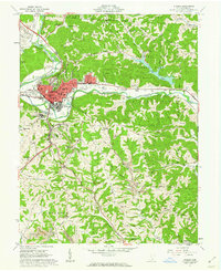
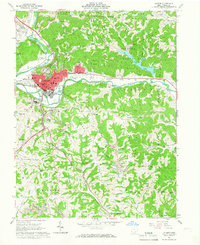
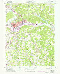
Editions of this 1961 Athens Map
7 editions found
Other maps of this area

1903 · Athens
USGS Topo · 1:62,500

1904 · Chesterhill
USGS Topo · 1:62,500

1905 · Athens
USGS Topo · 1:62,500

1906 · Chesterhill
USGS Topo · 1:62,500

1907 · Pomeroy
USGS Topo · 1:62,500

1907 · Keno
USGS Topo · 1:62,500

1947 · Columbus
USGS Topo · 1:250,000

1949 · Clarksburg
USGS Topo · 1:250,000

1956 · Clarksburg
USGS Topo · 1:250,000

1960 · Albany
USGS Topo · 1:24,000