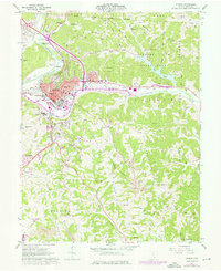
1961 Map of Athens
USGS Topo · Published 1976About this map
Ohio University dominates the urban bend of the Hocking River, serving as the central anchor for the city of Athens during this mid-century period. The landscape is a complex mix of institutional growth and rugged topography, where the sprawling grounds of the State Hospital and the campus Stadium give way to the wooded ridges of Peach Ridge and Angel Ridge. Infrastructure such as the Penn Central and Baltimore and Ohio railroads trace the river valley, facilitating connections through Armitage and The Plains.
Find a feature on this map
80 named features on this map. Tap any name to fly to it.
Don’t see what you’re looking for? This feature index may not catch every label — zoom into the map to look around manually.
Map Details
Editions of this 1961 Athens Map
7 editions found
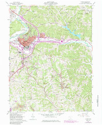
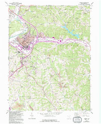
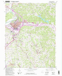
Other maps of this area

1903 · Athens
USGS Topo · 1:62,500

1904 · Chesterhill
USGS Topo · 1:62,500

1905 · Athens
USGS Topo · 1:62,500

1906 · Chesterhill
USGS Topo · 1:62,500

1907 · Pomeroy
USGS Topo · 1:62,500

1907 · Keno
USGS Topo · 1:62,500

1947 · Columbus
USGS Topo · 1:250,000

1949 · Clarksburg
USGS Topo · 1:250,000

1956 · Clarksburg
USGS Topo · 1:250,000

1960 · Albany
USGS Topo · 1:24,000