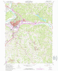
1961 Map of Athens
USGS Topo · Published 1985About this map
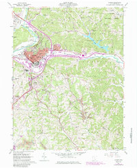
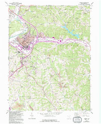
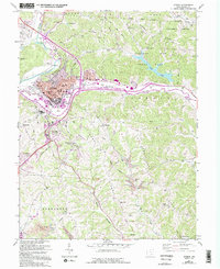
The Hocking River anchors the geography of this mid-century survey, winding through the valley floor beneath Peach Ridge and Athens Ridge. The urban center of Athens is dominated by the sprawling campus of Ohio University and the extensive grounds of the State Hospital, while the surrounding hills are carved by the Baltimore and Ohio and Conrail rail lines. This edition reflects the transition of the landscape from traditional Appalachian farmsteads and rural churches like Clara Chapel to recreational and institutional use, evidenced by the creation of Strouds Run State Park and the preservation of the Wayne National Forest.
Find a feature on this map
80 named features on this map. Tap any name to fly to it.
Don’t see what you’re looking for? This feature index may not catch every label — zoom into the map to look around manually.
Map Details
Editions of this 1961 Athens Map
7 editions found
Other maps of this area

1903 · Athens
USGS Topo · 1:62,500

1904 · Chesterhill
USGS Topo · 1:62,500

1905 · Athens
USGS Topo · 1:62,500

1906 · Chesterhill
USGS Topo · 1:62,500

1907 · Pomeroy
USGS Topo · 1:62,500

1907 · Keno
USGS Topo · 1:62,500

1947 · Columbus
USGS Topo · 1:250,000

1949 · Clarksburg
USGS Topo · 1:250,000

1956 · Clarksburg
USGS Topo · 1:250,000

1960 · Albany
USGS Topo · 1:24,000