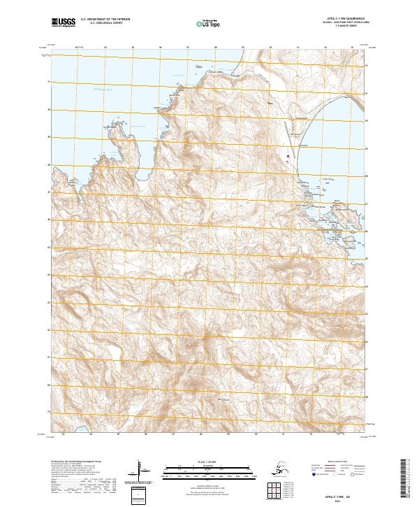
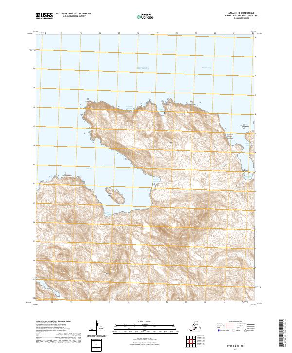
2021 Map of Atka C-1 NW
USGS Topo · Published 2021About this map
Atka serves as the primary hub of activity on this portion of Atka Island, situated where the Atka Road and the Atka Way (Extension) meet. The settlement’s connectivity to the rest of the island is anchored by the Atka Airport and the Korovin Bay Road, which winds toward the northern coast. The landscape is defined by its deep maritime indentations, including Korovin Bay and Martin Harbor, and a complex series of islands and coastal landforms such as Bolshoi Island and Cone Island.
Find a feature on this map
60 named features on this map. Tap any name to fly to it.
Don’t see what you’re looking for? This feature index may not catch every label — zoom into the map to look around manually.
Map Details
Editions of this 2021 Atka C-1 NW Map
This is the sole edition of this map. No revisions or reprints were ever made.
Other maps of this area

1952 · Atka
USGS Topo · 1:250,000

1959 · Atka
USGS Topo · 1:250,000
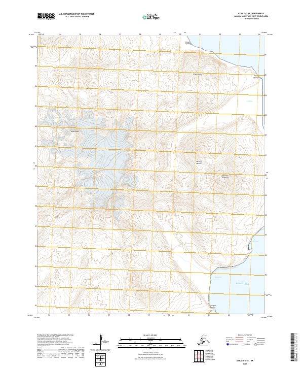
2021 · Atka D-1 SE
USGS Topo · 1:25,000
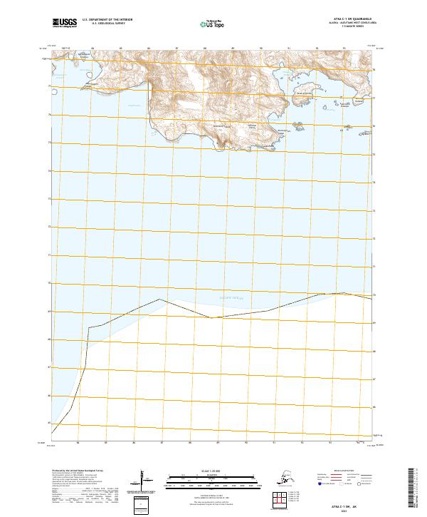
2021 · Atka C-1 SW
USGS Topo · 1:25,000
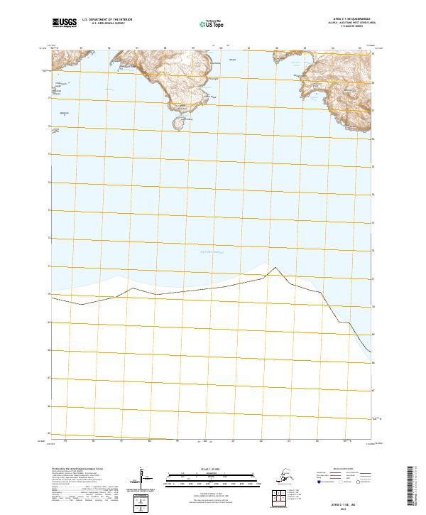
2021 · Atka C-1 SE
USGS Topo · 1:25,000
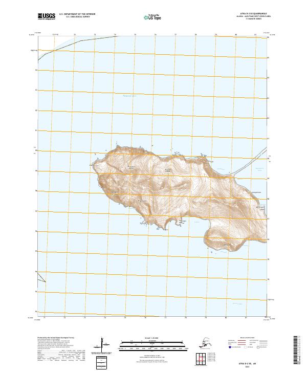
2021 · Atka D-2 SE
USGS Topo · 1:25,000
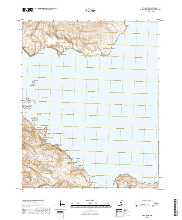
2021 · Atka C-1 NE
USGS Topo · 1:25,000
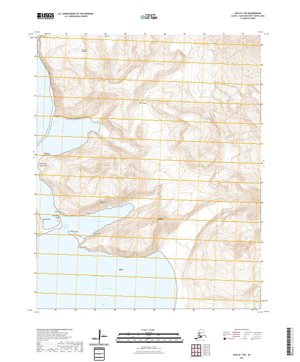
2021 · Atka D-1 SW
USGS Topo · 1:25,000
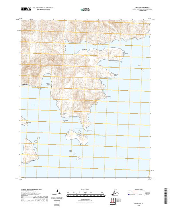
2021 · Atka C-2 SE
USGS Topo · 1:25,000
2021 · Atka C-2 NE
USGS Topo · 1:25,000