
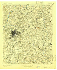
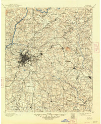
1895 Map of Atlanta
USGS Topo · Published 1895About this map
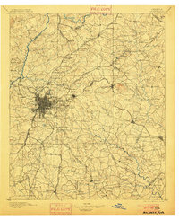
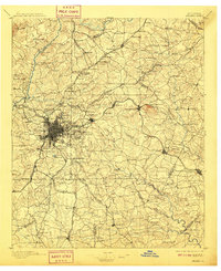
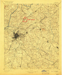
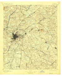
The Atlanta urban core is depicted here as a dense gridiron of streets at the center of a radiating rail network, including the Southern R.R. and the Georgia Railroad. Outside the city, the landscape is defined by the Chattahoochee River, which is still navigated by numerous river crossings such as Holcomb Ferry, Isom Ferry, and Power Ferry rather than modern bridges. Prominent landmarks such as Stone Mountain and Little Stone Mt. rise above the surrounding terrain to the east, while institutional sites like Oglethorpe Univ. and military grounds at Ft. McPherson mark the fringes of the growing city. Industrial sites like Howell Mills and Oakley Mill along the watercourses illustrate the local economy of the late 19th century, while small communities such as Doraville and Norcross dot the lines of the Charlotte Atlanta and Lowell R.R.
Find a feature on this map
163 named features on this map. Tap any name to fly to it.
Don’t see what you’re looking for? This feature index may not catch every label — zoom into the map to look around manually.
Map Details
Editions of this 1895 Atlanta Map
7 editions found
Other maps of this area

1888 · Atlanta
USGS Topo · 1:125,000

1890 · Suwanee
USGS Topo · 1:125,000

1890 · Cartersville
USGS Topo · 1:125,000

1890 · Atlanta
USGS Topo · 1:125,000

1891 · Marietta
USGS Topo · 1:125,000

1891 · Gainesville
USGS Topo · 1:125,000

1891 · Cartersville
USGS Topo · 1:125,000

1892 · Atlanta
USGS Topo · 1:125,000

1894 · Suwanee
USGS Topo · 1:125,000

1895 · Marietta
USGS Topo · 1:125,000