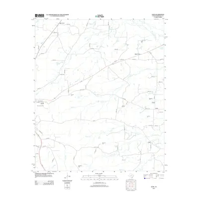
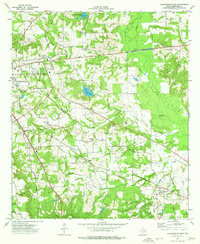
2013 Map of Atoy
USGS Topo · Published 2013About this map
Atoy and Circle anchor the southeast corner of this Cherokee County landscape, where the terrain transitions from the low-lying basins of Big Atoy Cr to the higher elevations of Bradford Mtn. The area is defined by a dense network of country roads and numerous small family or community burial grounds, such as Macedonia Cem and Cornelius Cem, reflecting generations of rural settlement. In the west, the outskirts of Rusk are marked by the Rusk Lookout Tower, a sentinel overlooking the timbered ridges near Hogg Cem.
Find a feature on this map
76 named features on this map. Tap any name to fly to it.
Don’t see what you’re looking for? This feature index may not catch every label — zoom into the map to look around manually.
Map Details
Editions of this 2013 Atoy Map
This is the sole edition of this map. No revisions or reprints were ever made.
Other maps of this area
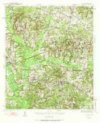
1943 · Cushing
USGS Topo · 1:62,500
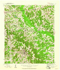
1943 · Rusk
USGS Topo · 1:62,500
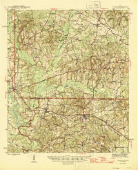
1945 · Cushing
USGS Topo · 1:62,500
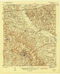
1945 · Rusk
USGS Topo · 1:62,500
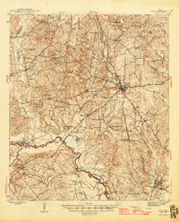
1946 · Alto
USGS Topo · 1:62,500
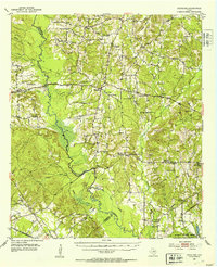
1952 · Douglass
USGS Topo · 1:62,500

1953 · Palestine
USGS Topo · 1:250,000

1957 · Palestine
USGS Topo · 1:250,000
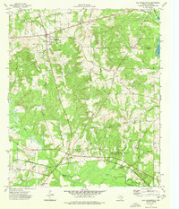
1973 · New Summerfield
USGS Topo · 1:24,000
1973 · Jacksonville East
USGS Topo · 1:24,000