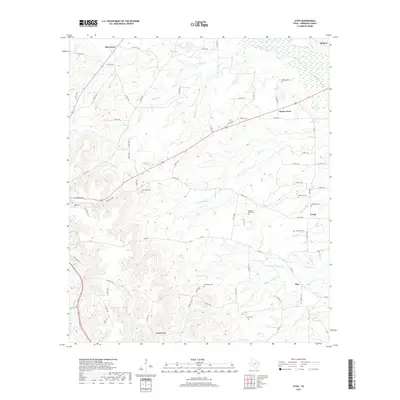
2019 Map of Atoy
USGS Topo · Published 2019About this map
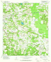
Bradford Mtn stands as a prominent topographic landmark in this section of Cherokee County, where the headwaters of numerous creeks begin their descent through the East Texas piney woods. The 2019 landscape is defined by its rural cemetery network, which serves as a vital record for family historians tracing local lineages. Sites such as Walker Cem, Meredith Cem, and Macedonia Cem are scattered across the terrain, often located near small, unincorporated communities like Atoy and Elm Grove.
Find a feature on this map
80 named features on this map. Tap any name to fly to it.
Don’t see what you’re looking for? This feature index may not catch every label — zoom into the map to look around manually.
Map Details
Editions of this 2019 Atoy Map
This is the sole edition of this map. No revisions or reprints were ever made.
Other maps of this area
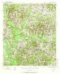
1943 · Cushing
USGS Topo · 1:62,500
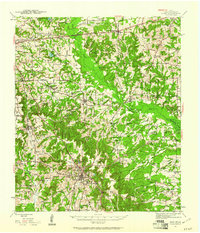
1943 · Rusk
USGS Topo · 1:62,500
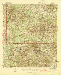
1945 · Cushing
USGS Topo · 1:62,500
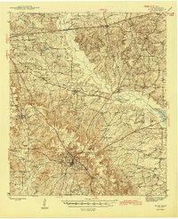
1945 · Rusk
USGS Topo · 1:62,500
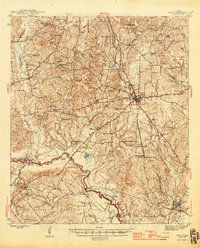
1946 · Alto
USGS Topo · 1:62,500
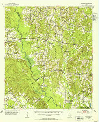
1952 · Douglass
USGS Topo · 1:62,500

1953 · Palestine
USGS Topo · 1:250,000

1957 · Palestine
USGS Topo · 1:250,000
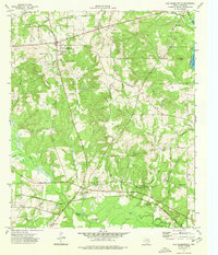
1973 · New Summerfield
USGS Topo · 1:24,000
1973 · Jacksonville East
USGS Topo · 1:24,000