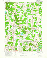
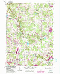
1962 Map of Aurora
USGS Topo · Published 1964About this map
Geauga Lake and the surrounding resort landscape of northeastern Ohio are captured in this early 1960s revision, showing the region as it balanced recreation and suburban development. The Erie-Lackawanna railroad cuts diagonally through Aurora, a central hub where the Aurora Country Club and The Country Club indicate the area's growth as a destination for leisure. To the north, the small settlements of Taborville and Beartown sit near the edge of the LaDue Reservoir, while the southern reaches show the emerging infrastructure of the Ohio Turnpike near Streetsboro. Local community life is documented through landmarks like the Mennonite Ch, Plainview Sch, and White Sch, reflecting the older rural school and church network that preceded the era's rapid expansion. The landscape is defined by its water, from the industrial-leaning Pumping Station to the scenic Sunny Lake and Round-up Lake.
Find a feature on this map
40 named features on this map. Tap any name to fly to it.
Don’t see what you’re looking for? This feature index may not catch every label — zoom into the map to look around manually.
Map Details
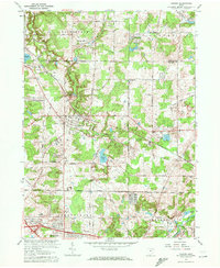
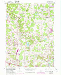
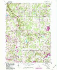
Editions of this 1962 Aurora Map
5 editions found
Other maps of this area

1905 · Garrettsville
USGS Topo · 1:62,500

1906 · Kent
USGS Topo · 1:62,500

1906 · Chagrin Falls
USGS Topo · 1:62,500

1906 · Ravenna
USGS Topo · 1:62,500

1907 · Garrettsville
USGS Topo · 1:62,500

1908 · Chagrin Falls
USGS Topo · 1:62,500

1908 · Ravenna
USGS Topo · 1:62,500

1950 · Cleveland
USGS Topo · 1:250,000

1953 · South Russell
USGS Topo · 1:24,000

1953 · Aurora
USGS Topo · 1:24,000