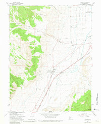
1966 Map of Aurora
USGS Topo · Published 1981About this map
The Sevier Valley agricultural landscape is anchored here by the town of Aurora, where the grid of streets meets a complex network of irrigation infrastructure. Vital to the local farming economy of the mid-1960s, the Vermillion Canal, Rocky Ford Canal, and Little Ditch move water across the valley floor toward the Sevier River. To the west, the terrain rises sharply into the Valley Mountains and the northern reaches of the Fishlake National Forest, where steep drainages like Dry Red Canyon and Denmark Wash cut through the high ground. Transportation in the corridor is defined by the Denver and Rio Grande Western railroad, which parallels the river. Evidence of local industry is visible through various Gravel Pits and a specific Mine located in the foothills, providing a clear picture of the region's resource extraction and transit history.
Find a feature on this map
32 named features on this map. Tap any name to fly to it.
Don’t see what you’re looking for? This feature index may not catch every label — zoom into the map to look around manually.
Map Details
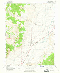
Editions of this 1966 Aurora Map
2 editions found
Other maps of this area

1885 · Manti
USGS Topo · 1:250,000

1885 · Beaver
USGS Topo · 1:250,000

1885 · Sevier Desert
USGS Topo · 1:250,000

1885 · Fish Lake
USGS Topo · 1:250,000

1895 · Manti
USGS Topo · 1:250,000

1896 · Fish Lake
USGS Topo · 1:250,000

1953 · Richfield
USGS Topo · 1:250,000

1953 · Delta
USGS Topo · 1:250,000

1956 · Salina
USGS Topo · 1:250,000

1956 · Price
USGS Topo · 1:250,000