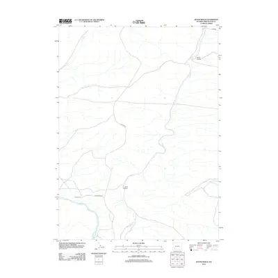
2012 Map of Austin Ranch
USGS Topo · Published 2012About this map
Austin Ranch occupies a prominent position in this high-desert landscape of southwestern Wyoming, situated just north of a sharp bend in the Green River. The terrain is defined by a network of seasonal drainages and deeply incised landforms, including the winding Alkali Cr and the prominent Skunk Canyon. These natural corridors have historically dictated the movement of livestock and travelers through this arid region.
Find a feature on this map
10 named features on this map. Tap any name to fly to it.
Don’t see what you’re looking for? This feature index may not catch every label — zoom into the map to look around manually.
Map Details
Editions of this 2012 Austin Ranch Map
This is the sole edition of this map. No revisions or reprints were ever made.
Other maps of this area

1954 · Rock Springs
USGS Topo · 1:250,000

1958 · Rock Springs
USGS Topo · 1:250,000

1961 · Scott Spring
USGS Topo · 1:24,000

1961 · Peru
USGS Topo · 1:24,000

1961 · Austin Ranch
USGS Topo · 1:24,000

1961 · Stevens Flat
USGS Topo · 1:24,000

1961 · Green River
USGS Topo · 1:24,000

1961 · Bryan
USGS Topo · 1:24,000

1962 · Rock Springs
USGS Topo · 1:250,000

1963 · Big Island Bridge
USGS Topo · 1:24,000