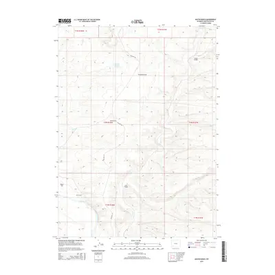
2015 Map of Austin Ranch
USGS Topo · Published 2015About this map
Green River flows through the southwestern corner of this high-desert landscape in Sweetwater County, anchoring a terrain defined by complex drainage systems and intermittent waterways. The namesake Austin Ranch sits just north of the river, representing a localized hub of activity within a vast network of canyons and draws. This 2015 survey illustrates how contemporary infrastructure like Blue Rim Rd and CR-14 provides access across the arid plains to essential water management features such as Blue Rim Reservoir Number 1.
Find a feature on this map
20 named features on this map. Tap any name to fly to it.
Don’t see what you’re looking for? This feature index may not catch every label — zoom into the map to look around manually.
Map Details
Editions of this 2015 Austin Ranch Map
This is the sole edition of this map. No revisions or reprints were ever made.
Other maps of this area

1954 · Rock Springs
USGS Topo · 1:250,000

1958 · Rock Springs
USGS Topo · 1:250,000

1961 · Scott Spring
USGS Topo · 1:24,000

1961 · Peru
USGS Topo · 1:24,000

1961 · Austin Ranch
USGS Topo · 1:24,000

1961 · Stevens Flat
USGS Topo · 1:24,000

1961 · Green River
USGS Topo · 1:24,000

1961 · Bryan
USGS Topo · 1:24,000

1962 · Rock Springs
USGS Topo · 1:250,000

1963 · Big Island Bridge
USGS Topo · 1:24,000