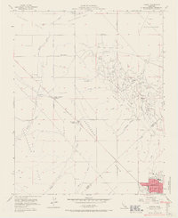
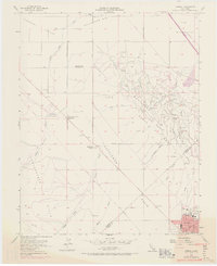
1954 Map of Avenal
USGS Topo · Published 1967About this map
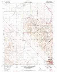
Kettleman Hills oil operations dominate the landscape in the mid-1950s, defining the industrial character of this portion of Kings and Fresno Counties. The town of Avenal sits at the base of the hills, serving as a central hub for the surrounding petroleum infrastructure, which includes an extensive network of pipelines, Oil Tanks, and an Oil Refinery. To the northwest, the Polvadero Country Club and family-held properties like Weeth Ranch and Starkey and Erwin Ranch provide a glimpse into the agricultural and social life existing alongside the energy sector.
Find a feature on this map
40 named features on this map. Tap any name to fly to it.
Don’t see what you’re looking for? This feature index may not catch every label — zoom into the map to look around manually.
Map Details
Editions of this 1954 Avenal Map
6 editions found
Other maps of this area

1912 · Coalinga
USGS Topo · 1:125,000

1914 · Cholame
USGS Topo · 1:125,000

1915 · Cholame
USGS Topo · 1:125,000

1917 · Cholame
USGS Topo · 1:125,000

1930 · Discovery Well
USGS Topo · 1:31,680

1930 · Canoas Creek
USGS Topo · 1:31,680

1930 · Kettleman Plain
USGS Topo · 1:31,680

1933 · Huron
USGS Topo · 1:31,680

1933 · Guijarral Hills
USGS Topo · 1:31,680

1933 · Kettleman Plain
USGS Topo · 1:31,680