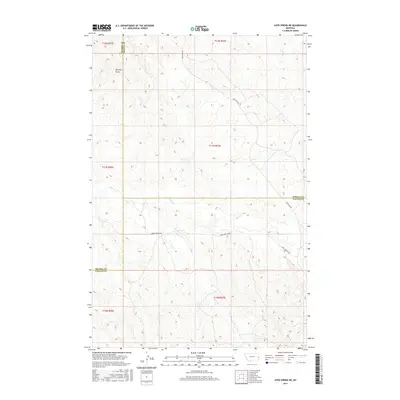
2017 Map of Ayer Spring NE
USGS Topo · Published 2017About this map
Cabin Cr and its tributaries carve through this section of the Montana High Plains where Prairie, Wibaux, and Fallon counties meet. The landscape is defined by a dendritic drainage pattern of seasonal coulees and draws, including the prominently named Dorothy Draw. Human presence is marked by a sparse network of section-line roads and tracks, notably Cabin Creek Loop and Anticline Rd, which follow the subtle ridges between watersheds. This 2017 survey reflects the enduring cattle-country character of the region, where water sources like Horse Cr, Cow Cr, and Cedar Cr dictate the layout of the range and the positioning of rural infrastructure.
Find a feature on this map
17 named features on this map. Tap any name to fly to it.
Don’t see what you’re looking for? This feature index may not catch every label — zoom into the map to look around manually.
Map Details
Editions of this 2017 Ayer Spring NE Map
This is the sole edition of this map. No revisions or reprints were ever made.
Other maps of this area

1953 · Miles City
USGS Topo · 1:250,000

1957 · Miles City
USGS Topo · 1:250,000

1958 · Miles City
USGS Topo · 1:250,000

1981 · Lawrence Creek East
USGS Topo · 1:24,000

1981 · Lawrence Creek West
USGS Topo · 1:24,000

1981 · Dorothy Draw
USGS Topo · 1:24,000

1981 · Ayer Spring NE
USGS Topo · 1:24,000

1981 · Ayer Spring
USGS Topo · 1:24,000

1981 · Rocking Chair Butte
USGS Topo · 1:24,000

1981 · Wibaux
USGS Topo · 1:100,000