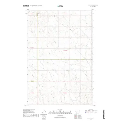
2020 Map of Ayer Spring NE
USGS Topo · Published 2020About this map
The high plains where Prairie, Wibaux, and Fallon counties converge are defined by a network of intermittent drainages. The landscape is carved by the meandering paths of Cabin Creek and Horse Creek, which dominate the central and southern sections of the quadrangle. Other seasonal waterways such as Cedar Creek, Ash Creek, and Cow Creek further shape this corner of Montana, illustrating the natural drainage patterns essential for the region's ranching history.
Find a feature on this map
17 named features on this map. Tap any name to fly to it.
Don’t see what you’re looking for? This feature index may not catch every label — zoom into the map to look around manually.
Map Details
Editions of this 2020 Ayer Spring NE Map
This is the sole edition of this map. No revisions or reprints were ever made.
Other maps of this area

1953 · Miles City
USGS Topo · 1:250,000

1957 · Miles City
USGS Topo · 1:250,000

1958 · Miles City
USGS Topo · 1:250,000

1981 · Lawrence Creek East
USGS Topo · 1:24,000

1981 · Lawrence Creek West
USGS Topo · 1:24,000

1981 · Dorothy Draw
USGS Topo · 1:24,000

1981 · Ayer Spring NE
USGS Topo · 1:24,000

1981 · Ayer Spring
USGS Topo · 1:24,000

1981 · Rocking Chair Butte
USGS Topo · 1:24,000

1981 · Wibaux
USGS Topo · 1:100,000