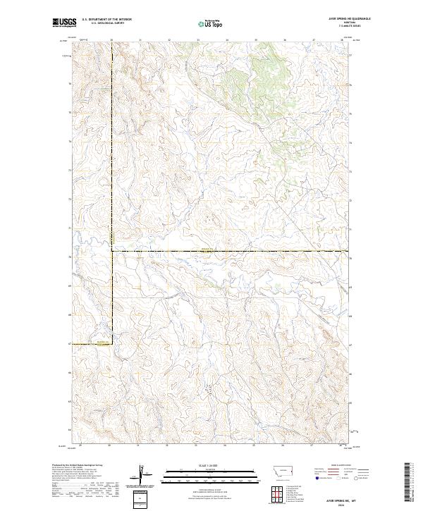
2024 Map of Ayer Spring NE
USGS Topo · Published 2024About this map
Fallon County, Montana, meets its neighbors at a remote intersection of prairie and plateau, where the boundaries of Wibaux County and Prairie County converge. This high plains landscape is defined by the drainage patterns of seasonal waterways like Horse Creek and Cabin Creek, which cut through the undulating terrain. The area is sparsely populated, dominated by land management divisions and the essential road network that serves the ranching economy. Primary access is provided by Anticline Rd, which winds across the topography alongside specialized routes such as Cabin Creek Rd and the Cabin Creek Loop. These roads trace the contours of the land, connecting isolated property sections in a region where the vast open range and the local water sources like Cow Creek remain the most significant landmarks for local landholders and surveyors alike.
Find a feature on this map
15 named features on this map. Tap any name to fly to it.
Don’t see what you’re looking for? This feature index may not catch every label — zoom into the map to look around manually.
Map Details
Editions of this 2024 Ayer Spring NE Map
This is the sole edition of this map. No revisions or reprints were ever made.
Other maps of this area

1953 · Miles City
USGS Topo · 1:250,000

1957 · Miles City
USGS Topo · 1:250,000

1958 · Miles City
USGS Topo · 1:250,000

1981 · Lawrence Creek East
USGS Topo · 1:24,000

1981 · Lawrence Creek West
USGS Topo · 1:24,000

1981 · Dorothy Draw
USGS Topo · 1:24,000

1981 · Ayer Spring NE
USGS Topo · 1:24,000

1981 · Ayer Spring
USGS Topo · 1:24,000

1981 · Rocking Chair Butte
USGS Topo · 1:24,000

1981 · Wibaux
USGS Topo · 1:100,000