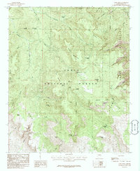
1986 Map of Aztec Peak
USGS Topo · Published 1986About this map
Sierra Ancha Wilderness dominates this mid-1980s landscape, where high peaks and deep drainages define the geography of the Tonto National Forest. The map captures a high-elevation environment marked by Aztec Peak and the prominent Asbestos Point, the latter hinting at the region's mining history. Water sources are critical features in this arid high-country, with numerous named points such as Cienega Spring, Knoles Hole Spring, and Hunt Spring scattered across the slopes. The presence of Workman Creek Falls and the dramatic drop into Devils Chasm illustrate the sharp vertical relief of the Sierra Ancha range. While primarily a wilderness study, the map includes a small settlement area at Reynolds and numerous 4WD tracks and prospects, showing the legacy of resource exploration and seasonal habitation in Gila County.
Find a feature on this map
56 named features on this map. Tap any name to fly to it.
Don’t see what you’re looking for? This feature index may not catch every label — zoom into the map to look around manually.
Map Details
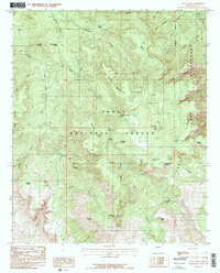
Editions of this 1986 Aztec Peak Map
2 editions found
Other maps of this area

1907 · Roosevelt
USGS Topo · 1:125,000

1909 · Four Peaks
USGS Topo · 1:125,000

1912 · Roosevelt
USGS Topo · 1:125,000

1922 · Chrysotile
USGS Topo · 1:125,000

1949 · McFadden Peak
USGS Topo · 1:62,500

1949 · Rockinstraw Mtn
USGS Topo · 1:62,500

1950 · Rockinstraw Mtn
USGS Topo · 1:62,500

1950 · McFadden Peak
USGS Topo · 1:62,500

1954 · Mesa
USGS Topo · 1:250,000

1957 · Mesa
USGS Topo · 1:250,000