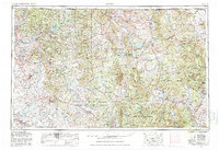
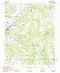
1954 Map of Aztec
USGS Topo · Published 1980About this map
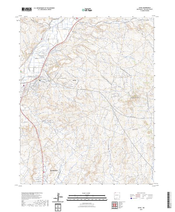
Santa Clara Pueblo and the historic settlement of Los Ojos (Tierra Amarilla) anchor this mid-century survey of the high-desert and mountain landscapes of Northern New Mexico and Southern Colorado. The map documents a complex hydrology where the Continental Divide splits the flow between the San Juan River and the Rio Grande systems. Large-scale water management is evident through the presence of the Navajo Reservoir, Heron Lake, and Abiquiu Reservoir. Transport corridors follow ancient river paths, notably the Denver & Rio Grande Western RR winding through the northern reaches. The area is defined by massive land tracts, including the Jicarilla Apache Indian Reservation and the Carson National Forest, while archaeological heritage is noted at Chaco Canyon National Monument in the southwest corner. Local industry is reflected by numerous gas wells concentrated near Bloomfield.
Find a feature on this map
145 named features on this map. Tap any name to fly to it.
Don’t see what you’re looking for? This feature index may not catch every label — zoom into the map to look around manually.
Map Details
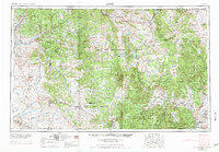
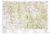
Editions of this 1954 Aztec Map
4 editions found

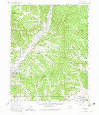
Historical Maps of Espanola Through Time
11 maps found
1954 Aztec
San Juan County, NM

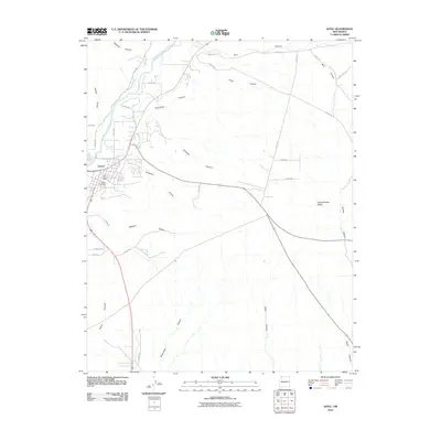
1958 Aztec
San Juan County, NM
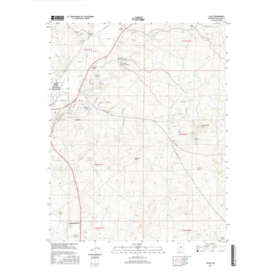
1959 Aztec
San Juan County, NM

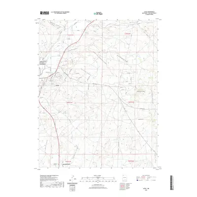
1962 Aztec
San Juan County, NM

1965 Aztec
San Juan County, NM
1985 Aztec
San Juan County, NM
2010 Aztec
San Juan County, NM

2013 Aztec
San Juan County, NM
2017 Aztec
San Juan County, NM
2020 Aztec
San Juan County, NM
2023 Aztec
San Juan County, NM