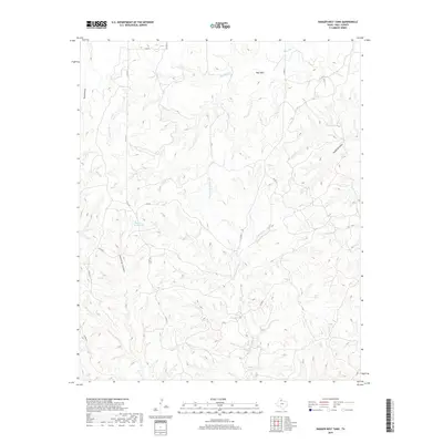
2019 Map of Badger Nest Tank
USGS Topo · Published 2019About this map
Wolf Mtn and a complex network of canyons define the high plains of Hall County, where water sources like Badger Nest Tank were critical to local ranching operations. The terrain is deeply incised by drainages such as Housetop Canyon and Waterbox Canyon, which channel seasonal flows into larger systems like Mountain Cr and Chainey Mountain Cr. This 2019 survey reflects a landscape shaped by both natural erosion and the practical needs of livestock management in West Texas. A sparse grid of county roads, including Co RD 20 and Co RD 24, provides the only modern access across this dissection of the Rolling Plains, connecting isolated landmarks like Buzzard Draw to the surrounding region.
Find a feature on this map
17 named features on this map. Tap any name to fly to it.
Don’t see what you’re looking for? This feature index may not catch every label — zoom into the map to look around manually.
Map Details
Editions of this 2019 Badger Nest Tank Map
This is the sole edition of this map. No revisions or reprints were ever made.
Other maps of this area

1954 · Plainview
USGS Topo · 1:250,000

1958 · Plainview
USGS Topo · 1:250,000

1961 · Memphis
USGS Topo · 1:62,500

1961 · Estelline
USGS Topo · 1:62,500

1967 · Tell South
USGS Topo · 1:24,000

1967 · Tell North
USGS Topo · 1:24,000

1967 · Cottonwood Camp
USGS Topo · 1:24,000

1967 · Badger Nest Tank
USGS Topo · 1:24,000

1967 · Northfield
USGS Topo · 1:24,000

1967 · Blue Tank Canyon
USGS Topo · 1:24,000